


Imagine standing on an 869-metre ridge while the whole hillside sways — a sea of silvergrass turning gold in the last light, the South China Sea opening on both sides, and Hong Kong’s towers reduced to a shimmer far across the water. That is Sunset Peak, and for a few short weeks each autumn it becomes the most photographed mountainside in the territory.
The mountain’s Cantonese name, Tai Tung Shan, is far older than its English one. It is the third-highest peak in Hong Kong, the long bare spine of Lantau Island, and the only place in the city where an entire ridge is given over to grass rather than forest. Come in the right fortnight, and the walk feels less like Hong Kong than like a high alpine meadow dropped into the subtropics.
At jusha.travel, we care about the details that turn a good idea into a walk you actually finish — which bus, which trailhead, which hour, and what to do when the cloud rolls in. In this guide we cover what Sunset Peak is, when the silvergrass peaks, how to reach the trailhead, the route on foot, and exactly what to carry.
What Is Sunset Peak and Why Do Hikers Love It?
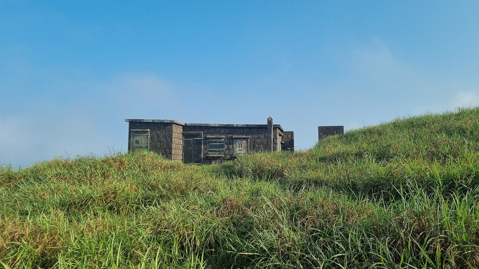
Sunset Peak (Tai Tung Shan) is the third-highest mountain in Hong Kong at 869 metres, standing on the central spine of Lantau Island inside Lantau South Country Park. It sits directly across the Tung Chung Road pass from Lantau Peak, and together the two summits form the twin-peak heart of Sections 2 and 3 of the official Lantau Trail.
Three things make it unusual. It is the longest unbroken open-ridge walk on the island, with no tree cover to block the view. Its upper slopes carry a genuine silvergrass meadow — a habitat rare at this scale in Hong Kong. And its name is earned: because the ridge faces west and drops away to the sea, the summit is the best place in the territory to watch the sun go down over the outlying islands.
Scattered along the upper bench are the stone huts of the Lantau Mountain Camp, roughly 20 small stone cabins built in the 1920s as summer retreats. They are private — not for shelter — but they make an odd, memorable foreground against the grass. If you want the wider context of Lantau’s trails, our guide to the Lantau Trail covers the island’s full network, and our piece on Lantau’s hiking trails and cultural heritage explains how the trails connect the island’s villages and monasteries.
When Does the Silvergrass Bloom?
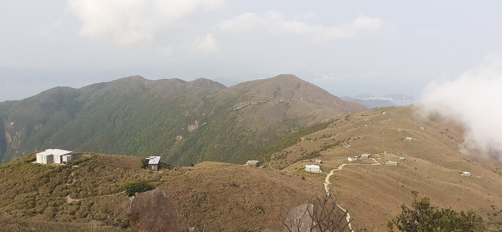
The silvergrass (Miscanthus) on Sunset Peak turns silver and gold between late October and early December, with the peak display usually falling in the first three weeks of November. Before that the slopes are green; after it, the stalks dry and dull. Timing really does decide what you see.
| Period | What the grass looks like | Verdict |
|---|---|---|
| September – mid-October | Green, with early plumes forming | Quiet trails, less colour |
| Late October | Plumes open, first gold tones | Good, and still uncrowded |
| Early – mid November | Full silver-gold, backlit at sunset | Peak — also the busiest |
| Late November – early December | Stalks dry to straw and russet | Still scenic, thinner crowds |
| January – March | Bare, brown, often misty | For views and solitude, not grass |
Two planning notes matter here. The grass peaks on weekends, when crowds do too — the Hong Kong Tourism Board’s own hiking pages now steer visitors towards weekday walks for exactly this reason. And the weather window is narrow: the Hong Kong Observatory’s extended forecast is the single most useful page to check before committing, because a November ridge in mist shows you nothing at all.
How Do You Get to the Trailhead?
The standard approach to Sunset Peak is by MTR to Tung Chung, then bus 3M, 11 or 23 along Tung Chung Road to the Pak Kung Au stop, where the Lantau Trail signpost marks the start of the climb. The bus ride takes around 20 minutes from Tung Chung bus terminus.
| From | How | Notes |
|---|---|---|
| Central | MTR to Tung Chung (Tung Chung Line) | Direct, ~30–40 minutes |
| Tung Chung | Bus 3M, 11 or 23 to Pak Kung Au | Alight at the Lantau Trail signpost |
| Tung Chung (weekends) | Taxi to Pak Kung Au | Roughly HK$80; bypasses full buses |
| Mui Wo | Ferry from Central Pier 6, then bus | Useful for a one-way crossing |
There is effectively no parking at Pak Kung Au, and buses thin out after dark — a practical problem if you linger for sunset. For a full picture of how rail, ferries and buses fit together across the territory, see our Hong Kong travel guide.
What Is the Route on Foot?
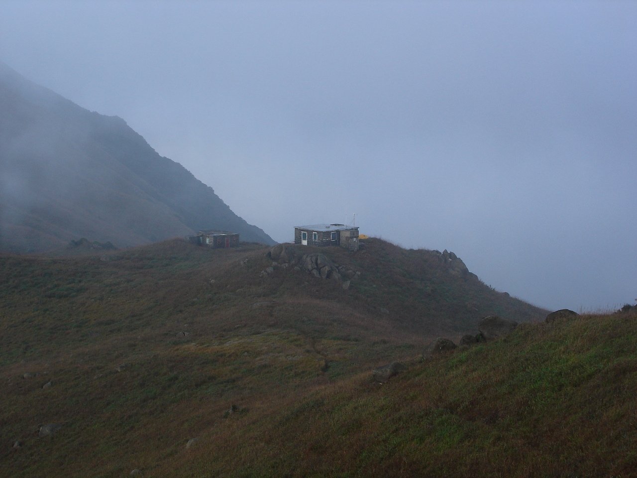
From Pak Kung Au, a stepped path climbs steeply onto the southern shoulder of Sunset Peak, eases across a broad grassy bench at the stone huts, then continues along the open ridge to the 869-metre summit — roughly 4 to 5 hours if you continue down to Mui Wo. The climb from the road pass to the top takes most walkers about 1.5 to 2 hours.
The first section is the hardest: an extended staircase of large stone steps that gains height quickly and tests the legs. Above it the trail softens into rolling dirt paths through grassland, past the Lantau Mountain Camp huts and on to the triangulation pillar. From the summit the ridge falls away north-east; the classic day out continues over the twin peaks towards Ngong Ping, or drops west to Mui Wo.
Beyond the mountain, Lantau rewards a longer stay. The Big Buddha at Ngong Ping is a short bus ride from the trail’s far end, and the stilted lanes of Tai O fishing village make a fine, slow finish to a long day on the ridge.
What Should You Bring and Wear?
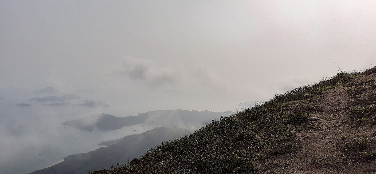
The summit ridge is significantly colder and windier than the road pass below, so a windproof layer and proper footwear are not optional. Every year, visitors in trainers and cotton hoodies turn back at the bench, and the descent on slick stone steps is the part that hurts.
- Boots with real grip — the stone steps are polished and, in cloud, wet.
- Layers, not one coat — a windproof shell over a warm mid layer; a beanie is genuinely useful from November.
- 1.5–2 litres of water per person — there is no refill anywhere on the route.
- Trekking poles — invaluable on the staircase descent.
- Head torch — essential if you plan to stay for sunset.
- Sun protection — the ridge has no shade at all.
One habit worth adopting: photograph the trail signposts on the way up. In sudden mist, visibility on an open ridge can drop to metres, and the safest rule is to stay on the marked path rather than cut across the grass. The Agriculture, Fisheries and Conservation Department’s country park guidance sets out the basics for Hong Kong’s upland areas, and Enjoy Hiking, its official trail portal, has route notes for the Lantau Trail sections.
Practical Tips for Your First Visit
- Start by 13:00–14:00 if you want sunset. That gives you daylight for the climb and the whole ridge lit gold on the way down.
- Go on a weekday in early November. You get near-peak grass with a fraction of the weekend crowd.
- Do not attempt it in a thunderstorm or an approaching typhoon — the ridge is completely exposed with no escape route.
- Budget your return. If you descend after dark, know your last bus or arrange a taxi at Tung Chung.
- Combine it with the twin peak only if you are hill-fit; Sunset Peak and Lantau Peak on the same day is a serious outing, not a stroll.
- Carry your rubbish out. The meadow survives because walkers stay on the trail and leave nothing behind.
Watching the last light spill across a hillside of silvergrass, it is easy to forget that the city is twenty minutes away. Hong Kong’s mountains are its most underrated attraction, and this one — briefly, gloriously — turns gold. At jusha.travel we love helping travellers get out of the skyline and into the hills, because the view from above is the one most visitors never see.
Planning a hiking trip around the territory? Tell us in the comments which Hong Kong trail you would climb for the view — and for more mountain inspiration further afield, start with our roundup of hiking trails in China.
Frequently asked questions
Where is Sunset Peak in Hong Kong?
Sunset Peak, known in Cantonese as Tai Tung Shan, is on Lantau Island in Hong Kong and stands 869 metres high, making it the third-highest mountain in the territory. It lies inside Lantau South Country Park, directly across the Tung Chung Road pass from Lantau Peak.
When is the best time to see the silvergrass on Sunset Peak?
Late October to early December is the silvergrass season, with the finest display usually in the first three weeks of November. That is when the Miscanthus plumes turn silver and gold across the upper slopes and photograph best in low afternoon light.
How hard is the Sunset Peak hike?
It is moderately hard. The climb from Pak Kung Au to the summit involves an extended stone staircase and takes most walkers about 1.5 to 2 hours; a full crossing down to Mui Wo runs 4 to 5 hours. The ridge is exposed, with no shade and no escape route, so it is not a casual stroll.
How do I get to the Sunset Peak trailhead?
Take the MTR to Tung Chung, then bus 3M, 11 or 23 along Tung Chung Road and alight at the Pak Kung Au stop, where the Lantau Trail signpost marks the start. On busy weekends a taxi from Tung Chung, at roughly HK$80, is often faster than waiting for a full bus.
Do I need a permit or ticket to hike Sunset Peak?
No. Sunset Peak is inside a public country park and there is no entry fee, permit or booking required. You simply need to get yourself to the trailhead and be equipped for exposed, changeable mountain weather.
Can I watch the sunset from the summit and still get back?
Yes, but plan the descent carefully. Carry a head torch, start the climb by early afternoon, and check the last bus times on Tung Chung Road before you go, because services thin out after dark. Many walkers arrange a taxi back from Tung Chung in advance.